Case Study: Southeast Drone Technologies


HEADQUARTERS: Tallahassee, FL USA
EMPLOYEES: >50
INDUSTRY: Drone Technology
SOLUTIONS: Sales Cloud, Salesforce Maps, Core Platform
A commercial unmanned aerial systems (UAS) operator authorized by the FAA for aerial services in the United States, Southeast Drone Technologies (SEDT) provides rapid response aerial mapping, videography, photography and 3D modeling solutions for businesses in the real estate, construction, agricultural and energy sectors.
Challenge

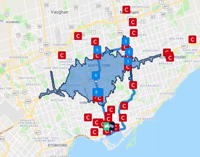
Southeast Drone was running their operations on excel spreadsheets and faced a significant problem when it came to scale and multi-program installations. When a new project came in, which is a collection of sites (cell towers and other properties), it took several hours to plot the sites on a map and assign the sites to the pilots to go out into the field and inspect. Once the work was passed to the pilots, they then had to go out and find the locations one by one.
SEDT needed a solution that:
- Reduced the time needed to plot sites on a map
- Automatically and efficiently assigned sites to pilots in the field
- Provided location GPS data and other project specifications via mobile devices to streamline information sharing between the office and the pilots in the field.
Solution
VALiNTRY360 was able to build a Sales Cloud installation with a Salesforce Maps solution added to manage the full life cycle for each program. Additional elements included:
- Google sheets integration for clients to maintain / update site information. This allowed pilots and management to view each site’s status in real time
- Site Management system to review each site report before it went to the client that lowered site failure rates
Results
VALiNTRY360 was also able to provide SEDT analytics, monitoring, and reporting for KPIs including:
- How much time their pilots spent on-site
- Project sites’ current status
- Where the majority of their sites are located

4-8 hours of administrative work saved on each project